Summer 2008 Cruise – Leg 1
|
Date |
Weather |
||
|
June 27th,08 Friday |
Sunny, fair seas |
||
|
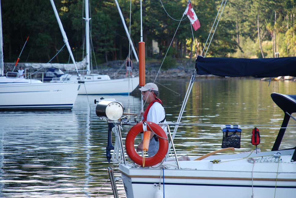
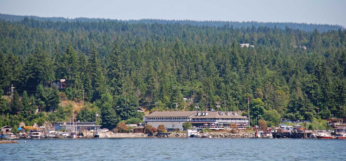
Leaving
Sea Foam Enjoying
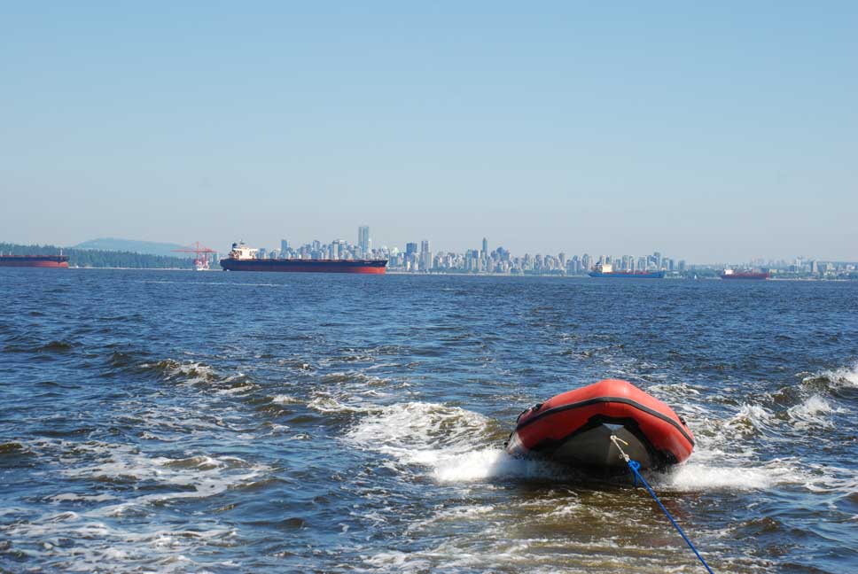
Water Taxi making a run from Secret Cove Marina
across
|
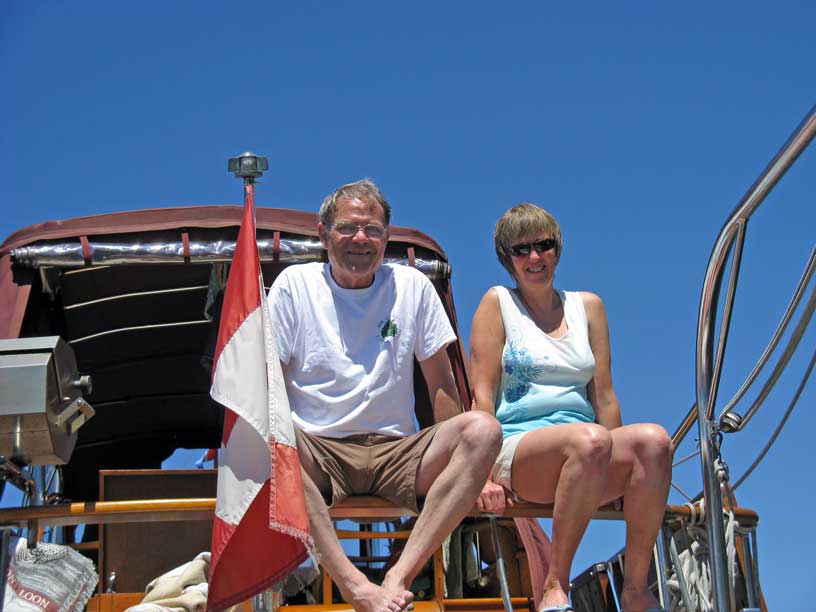
My Captain picked me up from my last day of work at 1030
and we drove to
I had made arrangements to meet with friends in Secret
Cove,
We had good cell phone reception so were able to make contact with Dianne to tell her the rendezvous spot had changed from Gibsons to Secret Cove. It would take us almost three hours to travel that distance while it would take her about 45 minutes by car. We gave her an ETA at Secret Cove of 1930.
We arrived on schedule and enjoyed a quiet evening and
dinner together on the Sea Foam. Not
long after we had settled down for Dianne’s favorite activity, playing cards,
the MV Hi Dad motored into the anchorage and went well into the back past the
marina. This boat is owned and kept
in the Delta Marina by Captain Rick in
Tomorrow our plans are to meet with Ron and Monica at
|
||


|
Date |
Secret Cove to |
Weather |
|
|
June 28th/08 Saturday |
Sunny with a slight breeze |
||
|
John and Cheryl Aboard MV Sovereign,
Catch-Up, Our
Water Taxi, at
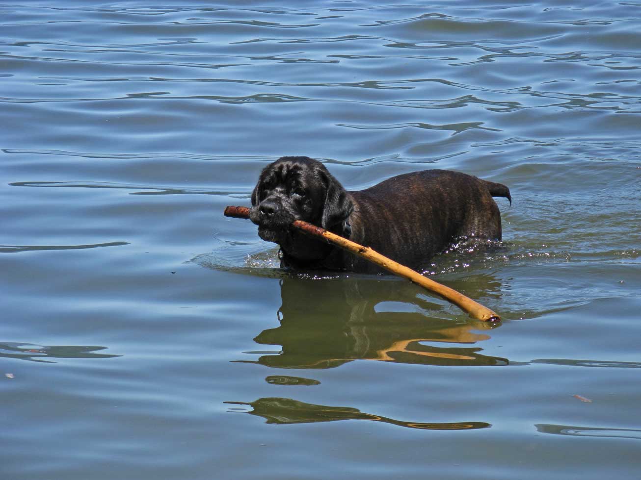
Kona, Our 120 pound Italian Mastiff
Shore Duty for the XXIV VII crew before dinner
Another year of
“Love and Leisure” as promised
|
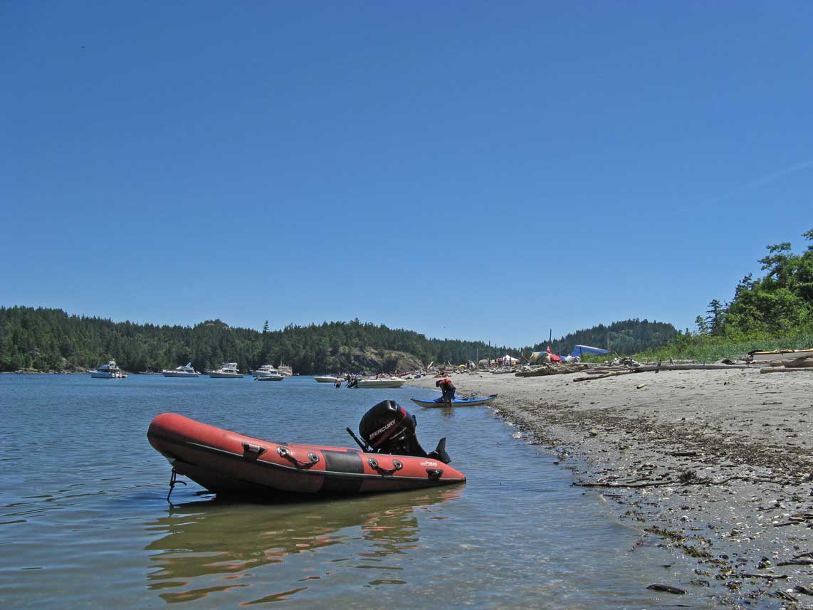
After a leisurely breakfast Dianne and I prepared a picnic
lunch for our day at the beach at
We loaded up and into our tender, Catch-Up, and headed
over to
We motored away to the beach and set up our things on the sandy beach and proceeded to blow up our floating chairs in preparation for a day of keeping cool in the water.
Ron and Monica arrived in their boat at 1350 and we had a great afternoon catching up on their plans to acquire a new sailboat. We combed the beach and enjoyed the sun, sand and refreshing water. We left the beach at 1730 and as we motored the Catch-Up into Welcome Passage on our way into Secret Cove we were able to hail the XXIV VII on our radio. They would be arriving by 1900. Ron and Monica followed us back to Secret Cove and anchored nearby with a stern tie.
When they arrived we all met on the Sea Foam and enjoyed
an evening of appetizers, barbequed smokies and excited chatter. We celebrated with a toast to Rick and me
for our fifth wedding anniversary and the start of Anniversary Cruise V to the
|
||


|
Date |
Sunday Secret Cove to |
Weather |
||
|
June 29th/08 |
|
|||
|
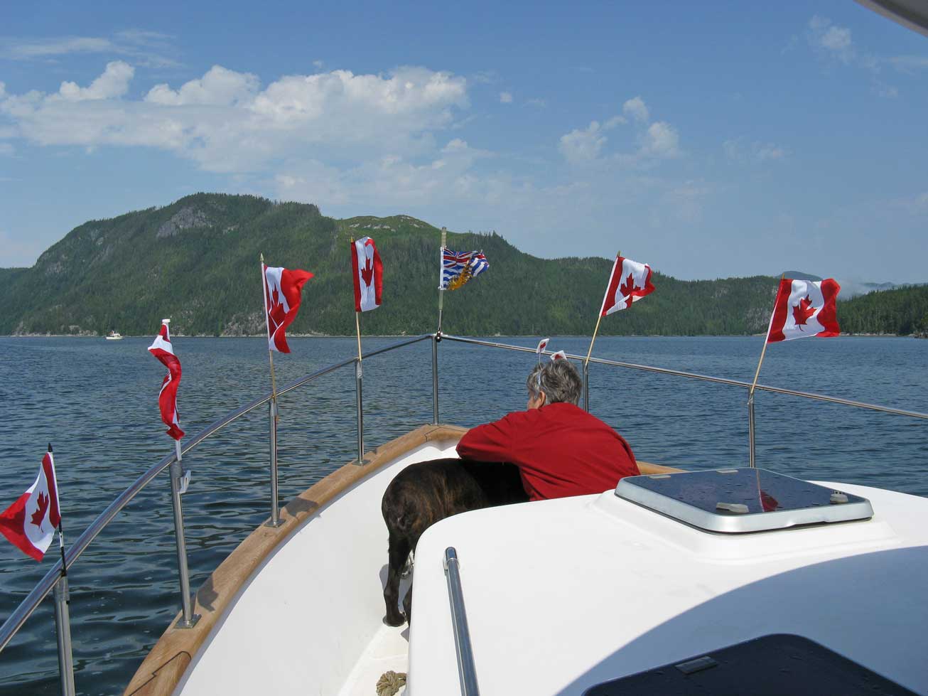
Ron and Monica
Releasing Their Stern Tie Preparing to Weigh Anchor for
Heading North for Desolation Sound
XXIV VII Close Behind
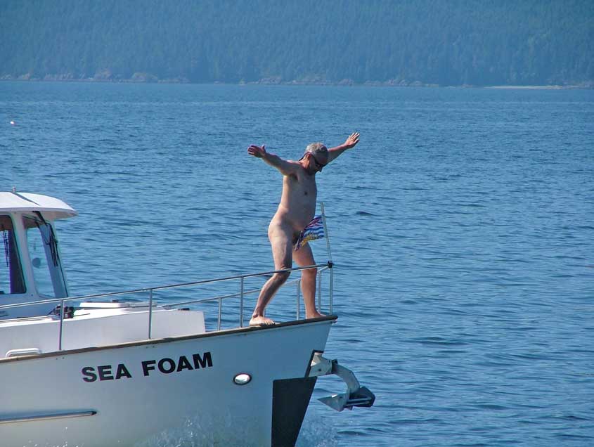
Bow Rider Rick – Another Naked Canadian?
Cyclops the Kite In Flight
The Town of
Turn to Starboard
at Voila! The Entrance to Desolation Sound
Grace Harbour
Anchorage with Hi Dad from Delta
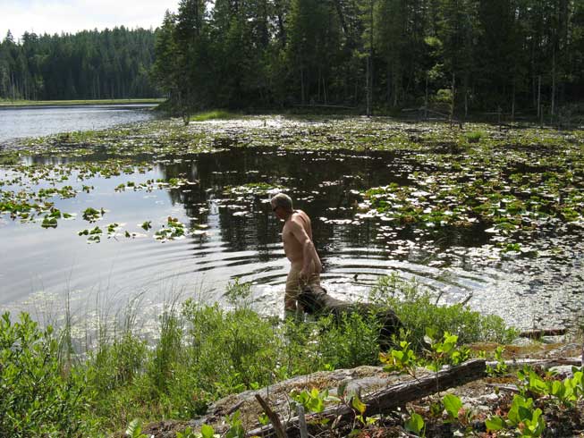
Lily Pond to Enter
the
|
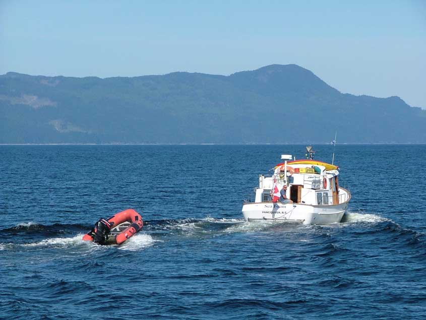
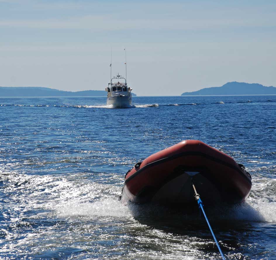
With the weather conditions predicted to be favorable I
wanted to make tracks today early and get past
We returned, shook Dianne out of a good sleep and put her to shore by 0900 and weighed anchor. Goodbyes were said to Monica and Ron with the hope of meeting up with them again at the end of August on our return.
It was a beautiful sunny day and the Sea Foam with the XXIV
VII close behind motored out of Secret Cove and on into
We took turns photo shooting each other’s boats as we traveled along. We got some great shots of the XXIV VII underway and they took some of us as well. The Captain of the Sea Foam thought he would pose nude “Titanic style” on the bow of the boat. We took out our kite and flew it for a while and left it perched in one of our fishing rod holders. I bought it for Rick after he had laser eye surgery on only one of his eyes. The kite is a Cyclops!
We turned the corner at
We anchored at the back of
As soon as we hit the shore the black flies hit us and I was happy to report to the Captain that I had bug spray in my bag. We sprayed ourselves and listened to the incessant buzz of the bugs around our heads as we walked along the trail. They didn’t land but they swarmed around our head, ears and neck. Kona needed relief from them as well but didn’t like that I sprayed bug repellent on her.
We met a man with his two young sons coming down from the “lake” and he was almost wild and bugged eyed (no pun intended) with having the bugs at him all along the trail. He told us the bugs were awful and the lake was a pond with lily pads and no easy swimming access. We continued on to see for ourselves.
He was right. We walked along a swampy shoreline looking for a way in but would have to swim about 20 feet through lily pads to get to open water. Rick did just that while Kona and I watched from shore. I would have loved to swim because it was very hot but the mucky bottom and lily pads all around were too much for me.
We met another couple on our return and told them our story. They turned around and walked back with us. It was then we noticed a trail leading off to the right that we should have taken in the first place. It led to better access to get into the “lake” with rocks around a small pond like area. The bottom was murky and the rocks slippery with brown sediment but I stood in it up to my thighs just to cool off. I later read in the Waggoner cruising guide that a woman had returned from this “lake” with a leech on her hand.
We walked back along the trail chatting with Eric and Sherry from the 30’ Californian Starry Night. Eric was a diver and knew some of the people Rick knew. Once we got back to the start of the trail I happily plunged into the sea for a long awaited dip while Rick chatted further with Eric about diving and Californians – we loved our 34’ – Fish-N-Chips before acquiring the Sea Foam.
We returned Kona to the Sea Foam and headed over to the
XXIV VII for another lovely dinner with Mark and April. We called it a night at 2200 and made
plans to make it to
|
|||
|
Date |
|
Weather |
||
|
|
Sunny with Cloudy Periods |
|||
|
Large Log Boom and Three Tugs Transiting Dent Rapids
Captain of the Island Navigator Thankful For Our Small Wake at Dent Rapids
|
Before breakfast I was busy planning our route to time the
transit over three sets of rapids before reaching our destination for today,
It’s always lively in these areas as many boats are attempting to go through at the same time. We have experienced inconsiderate boaters that speed up to get through creating huge wakes that toss you around in an already tenuous situation. Sailboats get the worst of it as they are tossed about much more severely with their keels so much further down in the water. On this transit a tugboat Captain came on the VHS asking that a large yacht slow down so as not to break up their log boom as they tried to negotiate through Dent Rapids. |
|||
|
Date |
Forward
Harbour to Potts Lagoon |
Weather |
||
|
July 1 |
|
|||
|
Sea Foam Suitably Decorated to Celebrate Canada Day
Colourful Float Homes in Potts Lagoon
Crew of the XXIV VII on Shore Patrol
|
Happy Canada Day! |
|||
|
Date |
Potts
Lagoon to Safety Boat Cove |
Weather |
||
|
July 2 |
|
|||
|
Kayakers Sit Out on the Rocks Waiting for the Current to Slow
|
After shore duty for all dogs we motored out and away from Potts Lagoon and out into Baronet Passage with the current in our favour but the fog limiting our visibility. Captain Rick and Captain Mark enjoyed playing with their radar and determining whose reflector was doing the best job.
As we reached Blackney Passage we kept a close look out for whales as we carried on along the southern shore of Hanson Island along Johnstone Strait. As we rounded the corner at Weyton Island and into the Plumpers we were glad we had planned to arrive here at near slack as the currents through the islands can be strong and troublesome to maneuver a boat in.
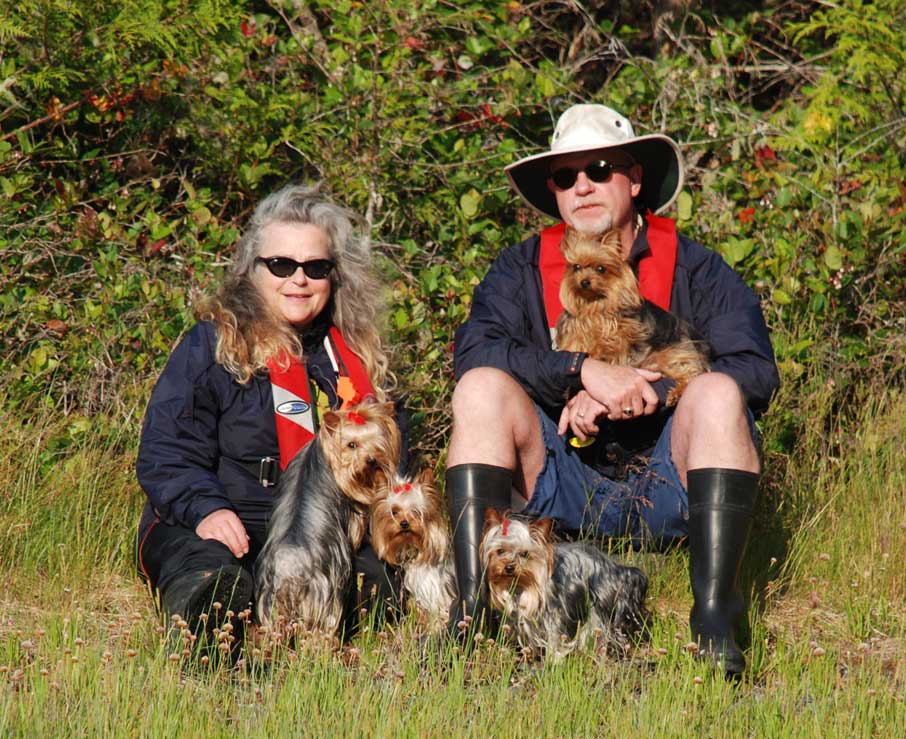
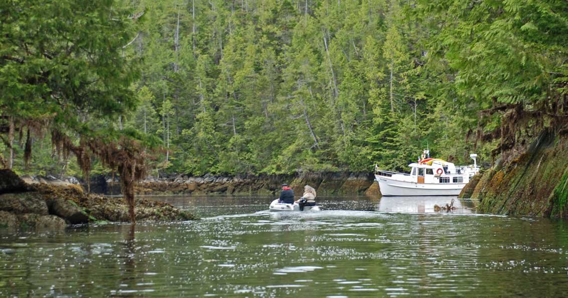
We settled in our secret anchorage in the Plumper Island group and relaxed for a time before heading off in the Catch-Up to take Kona to shore and show Mark and April some of our favorite spots for diving and watching for wildlife. |
|||
|
Date |
Safety
Boat Cove |
Weather |
||
|
July 3 |
|
|||
|
Low Lying Fog Over Blackfish Sound Looking northwest from Plumper Islands
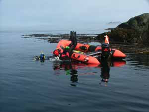
Ready to Dive off Safety Boat Cove
April on Grassy Island Admiring the Vegetation and the Views Over Blackfish Sound
|
|
|||
|
Date |
Safety
Boat Cove to Port McNeill |
Weather |
||
|
July 5 |
|
|||
|
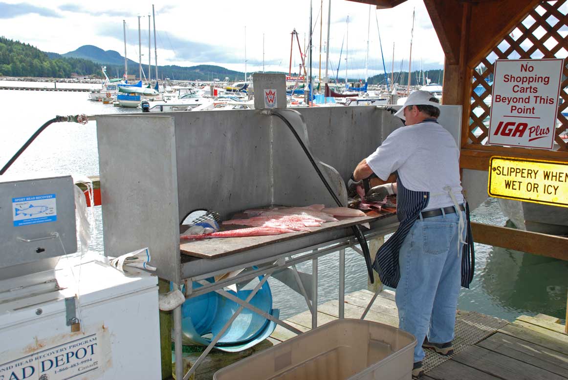
Port McNeil Fishing Dock
Charter Operator Preparing Halibut Fillets
|
|
|||
|
Date |
Port
McNeill to Miles Inlet |
Weather |
||
|
July 6 |
|
|||
|
Long Narrow Entrance to Miles Inlet
North Lagoon Entrance with Foam on the Ebb Tide as the water rushes out
Posing with XXIV VII Crew in Southwest Lagoon
Exiting the Lagoon at the Southwest Arm of the Inlet Beside our Anchorage
|
|
|||
|
Date |
Miles
Inlet |
Weather |
||
|
July 7 |
|
|||
|
Mark in the “Tighty” Heading Out to Fish
A Trip to Shore for Kona Close to Our Anchorage After an Unsuccessful Fishing Trip
|
|
|||
|
|
||||